Local News
Flash Flood Warning Issued for Winston-Salem and Surrounding Counties
By Staff · July 24, 2026
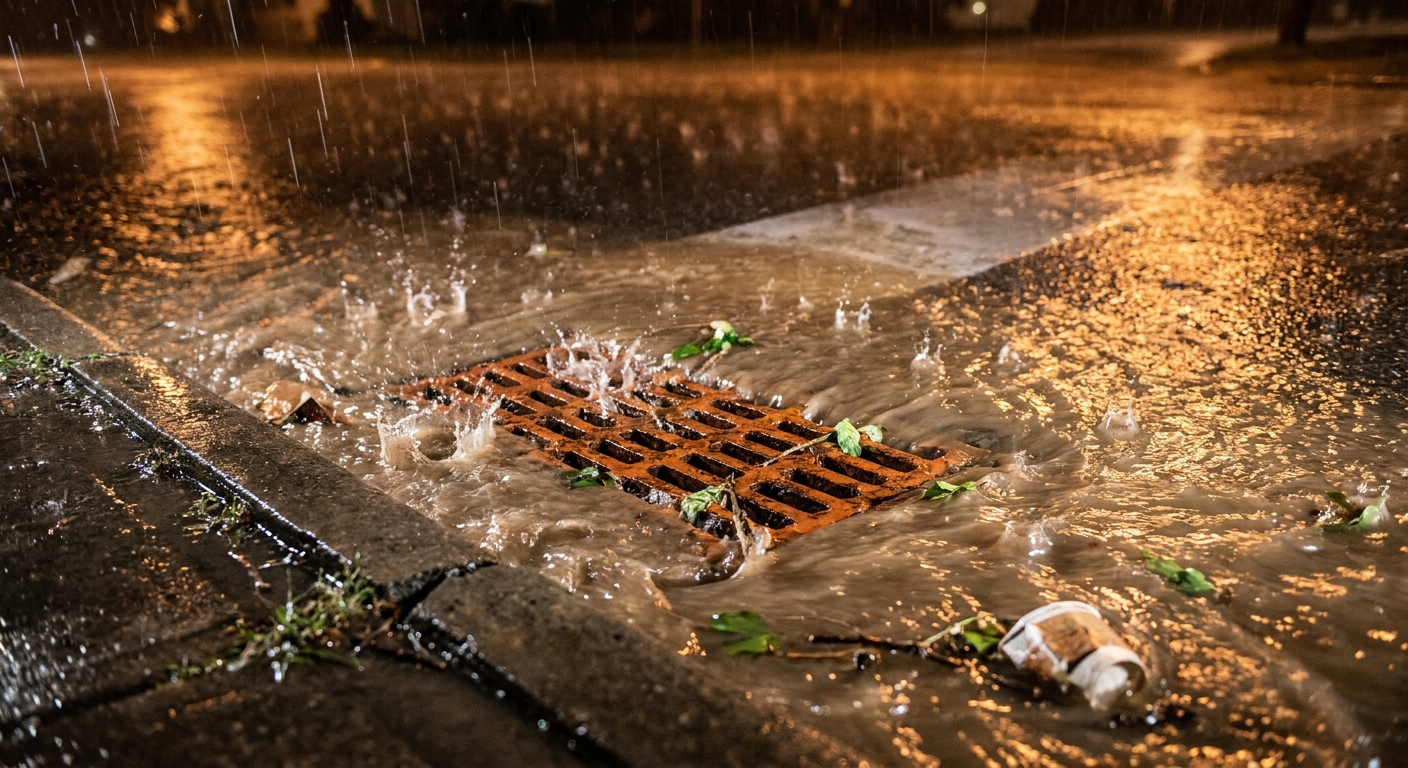
A Flash Flood Warning put Winston-Salem, Forsyth County and much of the Triad at immediate risk Wednesday night as slow-moving thunderstorms soaked roads, underpasses and creeks already vulnerable to flooding.
The National Weather Service in Raleigh issued the warning at 8:43 p.m. EDT Wednesday, July 22, 2026, for Forsyth County, Guilford County, northeastern Davidson County and northern Randolph County. It was initially in effect until 2:45 a.m. EDT Thursday, July 23, 2026, and expired at 4:45 a.m. EDT Thursday.
Doppler radar at 8:43 p.m. showed thunderstorms producing heavy rain across the warned area, with flash flooding already occurring or expected to begin shortly. Buffalo Creek in Greensboro was already starting to rise.
Between 1 and 3 inches of rain had fallen by then, with the heaviest totals south of Interstate 40. Another 2 to 4 inches was possible overnight. A stalled frontal boundary south of I-40 was producing repeated rounds of rain over saturated ground, and the storms were not moving, prolonging rainfall over the same areas. Tropical moisture from Tropical Storm Bertha, drawn north into the stalled cold front, created a multiday flash flood threat across the Carolinas.
Heavy storms ultimately dropped up to 6 inches of rain in 12 hours in Greensboro and Winston-Salem on Wednesday night. More than 6 inches was measured in High Point during the July 22–23 event.
Locations expected to experience flash flooding included Winston-Salem, Kernersville, Clemmons, Lewisville, Walkertown, Sedge Garden, Greensboro, High Point, Thomasville, McLeansville, Huntsville, Archdale, Summerfield, Trinity, Gibsonville, Pleasant Garden, Jamestown, Liberty, Oak Hollow Marina and Colfax.
The National Weather Service warned of flash flooding of small creeks and streams, urban areas, highways, streets and underpasses, along with other poor-drainage and low-lying areas.
Nighttime flooding is especially dangerous because water depth is harder to judge, and flash flood deaths are often vehicle-related, according to the National Weather Service. Residents should never drive or walk into floodwaters—the central message of the agency's Turn Around Don't Drown campaign—and should never go around barricades blocking flooded roads. If a vehicle stalls in floodwater, drivers should abandon it immediately and seek higher ground. Anyone whose location is threatened should do the same.
The storms on July 23 led to flooding, crashes, downed trees and power outages across central North Carolina. With the broader threat continuing, the National Weather Service in Raleigh issued a Flood Watch at 7:52 a.m. EDT on July 23, 2026, for central North Carolina counties including Forsyth, Guilford and Davidson, effective until midnight EDT on July 24, 2026. It anticipated 2 to 4 inches of additional rain, with locally higher amounts along the slow-moving cold front through Thursday evening.